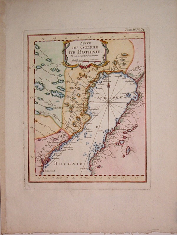
Suite du Golphe de Bothnie.
Paris: Jacques Nicolas Bellin, 1764.
Map. Copper plate engraving with hand outline. Image measures 8.5" x 6.75".
Nice map of the northernmost portion of the Golf of Bothnia, which separates Sweden and Finland. Minor aging along edges. Jacques Nicolas Bellin (1703-1772), was the official hydrographer to the French king and the first person to hold the title of "Ingénieur de la Marine of the Depot des cartes et plans de la Marine" (chief engineer of the French Hydrographical Office).
Binding: Unbound
Condition: Very Good
Language: English
Price: $75.00
Item #206612
See all items by Jacques Nicolas BELLIN