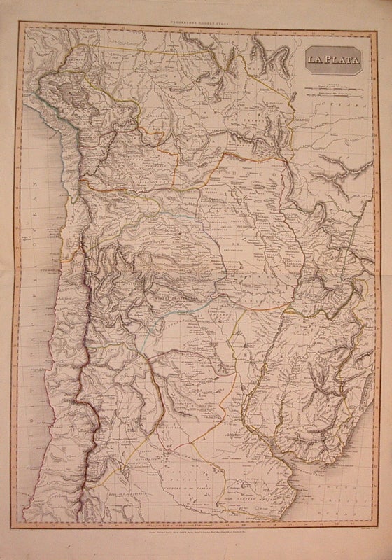
La Plata
London: Cadell & Davies, 1812.
Map. Engraving with original hand coloring. Image measures 27.75" x 20".
Beautiful large map of South America encompassing the southern tip of Peru, the northern half of Chile, parts of Bolivia and Brazil, Paraguay, Uruguay and much of Argentina including Buenos Aires. Extensive geographical, historical and ethnographic details. Published in "Pinkerton's Modern Geography". A few small tears to top and bottom margins.
Illustrator: NEELE, Samuel
Binding: Unbound
Condition: Very Good
Language: English
Price: $300.00
Item #204819
See all items in
19TH CENTURY,
ANTIQUE,
ARGENTINA,
CENTRAL & SOUTH AMERICA,
CHILE,
MAP,
SOUTH AMERICA
See all items by John PINKERTON