
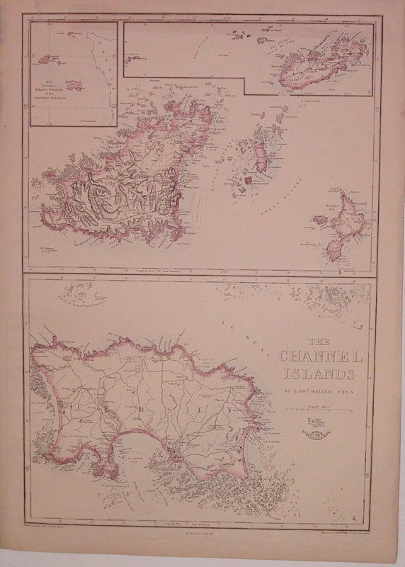
The Channel Islands
London: Edward Weller, 1863.
Map. Engraving with original hand outline. Collective images measure 17.25" x 11.75".
Map of Guernsey, Herm and Sark with insets of Alderney and "A Map showing the Relative Positions of the Channel Islands", and a separate map of Jersey. Part of a series of county maps for the "Weekly Dispatch Atlas". A few tears to top edge.
Binding: Unbound
Condition: Very Good
Language: English
Price: $100.00
Item #204451
See all items by Edward WELLER