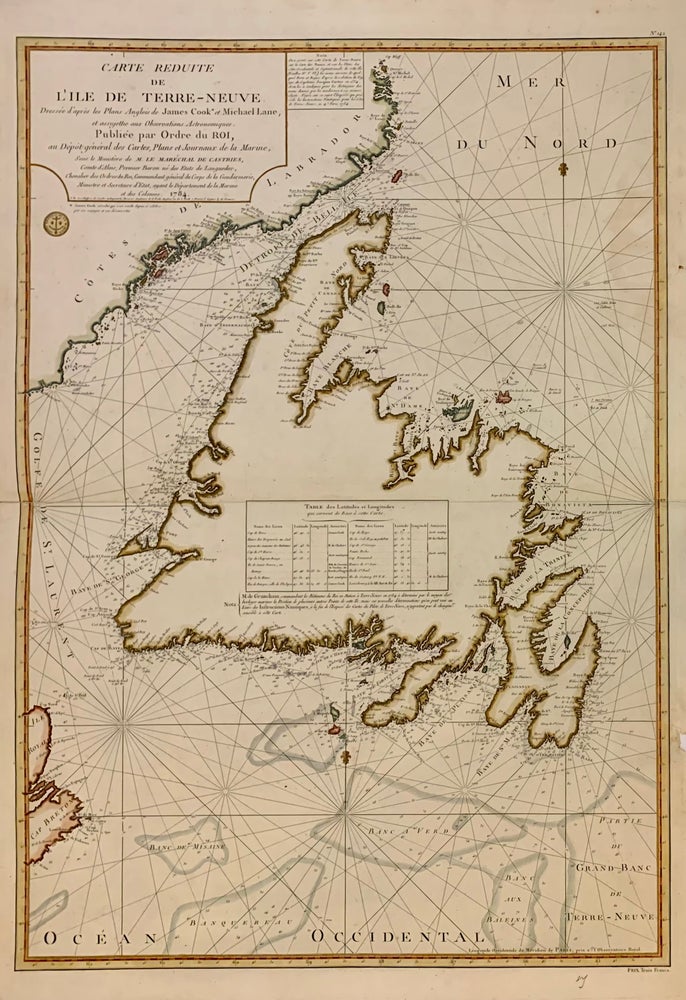
Carte Reduite de l'Ile de Terre-Neuve
Paris: Marechal de Castries, 1784.
Sea Chart. Engraving with modern hand coloring. Image measures 33.75" x 23.75".
French edition based on the maps of James Cook from his third voyage 1776-9. Michael Lane was marine surveyor who was trained by Cook. Includes rhumb lines and depths as well as a table of landmarks and their coordinates. Minor staining along right margin.
Binding: Unbound
Condition: Very Good
Language: English
Price: $750.00
Item #204041
See all items by James COOK, Michael LANE