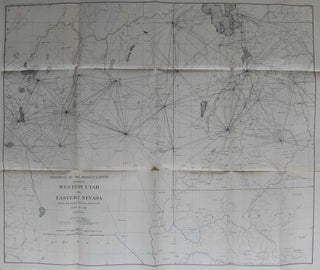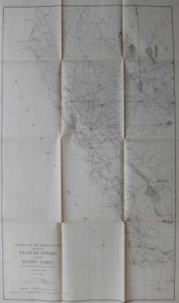
Progress of the Triangulation Between Western Nevada and the Pacific Coast; [Northern California]
Washington: U.S. Coast & Geodetic Survey, 1891. Map. Lithograph. 40" x 24". Very detailed map of the western coast of the United states from San Buenaventura (showing San Nicolaus Island) up through San Francisco to Trinidad Head, California and the Klamath River. The western portion of Nevada is visible, showing Aurora and Mt. Grant in the south, and the Black Rock Desert in the north, about as far north as a half a degree above the 41st parallel. Cities, towns..... More