![Item #220885 [The English Pilot Parts I and III] The English Pilot for the Southern Navigation:...](https://argosybooks.cdn.bibliopolis.com/pictures/220885.jpg?width=320&height=427&fit=bounds&auto=webp&v=1603059549)
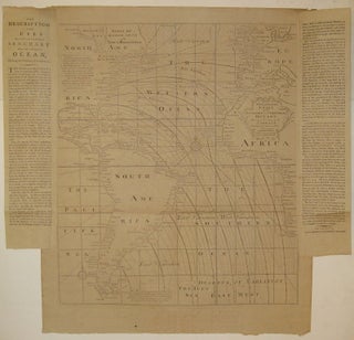
[The English Pilot Parts I and III] The English Pilot for the Southern Navigation: Describing the Sea-Coasts, Capes, Headlands, Bays, Roads, Harbours, Rivers and Ports: together with the Soundings, Sands, Rocks and Dangers on the Coast of England, Scotland, Ireland, Holland, Flanders, Spain, Portugal, to the Streight's-Mouth; with the Coasts of Barbary, and off to the Canary, Madeira, Cape de Verde and Western Islands Shewing the Courses and Distances from on Place to another; The Setting of the Tides and Currents; the Ebbing and Flowing of the Sea, &c. The English Pilot. Part III. Describing The Sea-Coasts, Capes, Head-Lands, Bays, Roads, Harbours, Rivers and Ports; Together with the Soundings, Sands, Rocks and Dangers in the Whole Mediterranean Sea, Likewise The Courses and distances from on Place to another. The Setting of the Tides and Currents. The Ebbing and Flowing of the Sea. The Bearing, Distance and Prospects of the Land, and how they shew themselves at Sea. Carefully Corrected, with new Additions of several Ports, Harbours, Bays, and Prospects of Land, never before made Public.
London: J. Mount, and T. Page, 1771. Folio atlas. Two parts (I and III) bound in one volume, London: 1771. Part I: 46 pp of text; 22 double page and folding maps plus 2 small maps and many additional charts and views. Ink inscription on title page reads "1774 John Hamilton Ought This Book-Bought of James Alex.(?) Stewart". Stamped name in margin of one page of text. Part III: 43 pp of text; 17 double page or folding maps, 34..... More