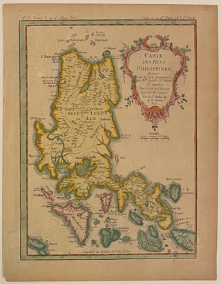
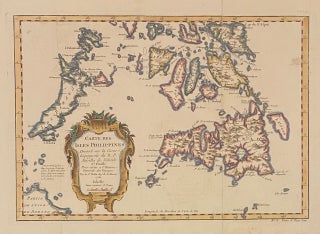
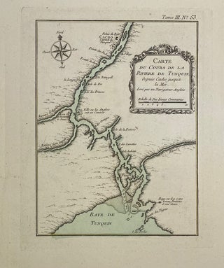
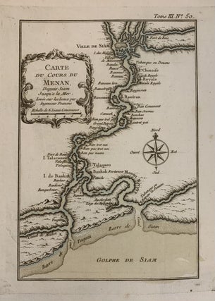
Carte de l'Armenie Georgie et Pays Viosins
Paris: Jacques Nicolas Bellin, 1764. Map. Engraving with hand colored outline. Image measures 8 1/4" x 5/8", sheet measures 12 1/8" x 16 7/8" Beautiful early map of Armenia and Georgia. Cities and towns are labeled extensively, and mountains are depicted pictorially. The Black Sea and the Caspian Sea, as well as smaller lakes and bodies of waters are hand outlined in color. Published in Bellin's 'Petit Atlas Maritime'. Jacques Nicolas Bellin (1703-1772), was the official hydrographer to the French..... More