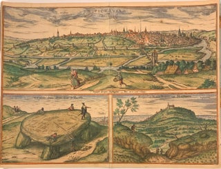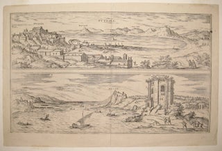
(Antrum Sibyllae Cumanae.): (Lacus Anianus.): (Charoneae Scrobes): (Sudatorium S. Germani.)
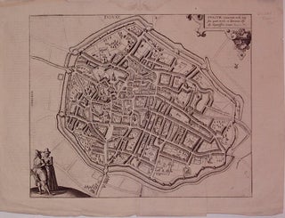
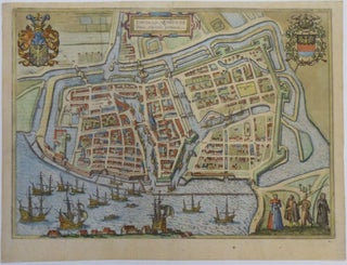
Cologne: Braun & Hogenberg. View. Uncolored engraving. Image measures 12.75" x 18.5". Beautiful diptych of Lake Averno, the ancient city in Campania Italy and of Lake Agnano. In front of Lake Averno the artist and Ortelius are discussing if it is the entrance to the underworld. From the city atlas "Civitates Orbis Terrarum", a collection of city views and plans created as a companion to Ortelius' "Theatrum Orbis Terrarum". The volumes were published between 1572-1617 Latin edition. Chipping along edges..... More