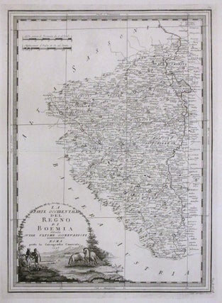
La Parte Occidentale del Regno di Boemia Delineata Sulle Ultime Osservazioni
Rome: G. M. Cassini, 1776. Map. Uncolored engraving. Image measures 18.75" x 13.75". This fine antique map of the western part of Bohemia (modern day Czech Republic) extends westward from Prague. Details roads, towns and pictorial topography. Depicts Bohemia while it was in the midst of the Czech National Revival. A ornate title cartouche featuring a pastoral scene adorns the lower left corner. Map is in very good condition with slight wear along the centerfold. This map is from the..... More