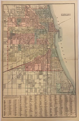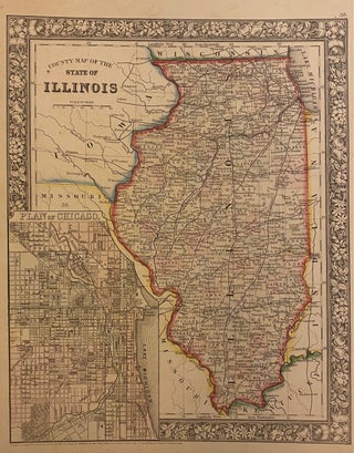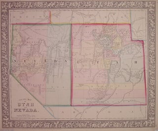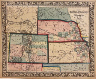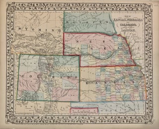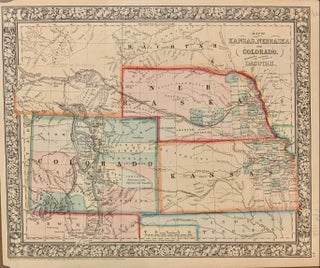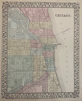
Chicago
Washington: Samuel Augustus Mitchell Jr., 1871. Map. Lithograph with original hand coloring. Image measures 13.50" x 11.50" This lovely map of Chicago from the 1871 edition of Mitchell's New General Atlas shows the City of Chicago as well as some parts of the surrounding suburbs. Streets are labeled, as well as parks, railroad lines, waterways, and some institutions. Wards are numbered as well. A fine map. Samuel Augustus Mitchell Sr. (1792-1868) was one of the leaders in American cartography of..... More