
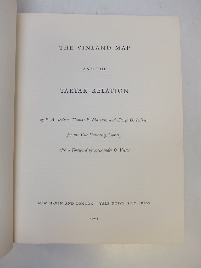
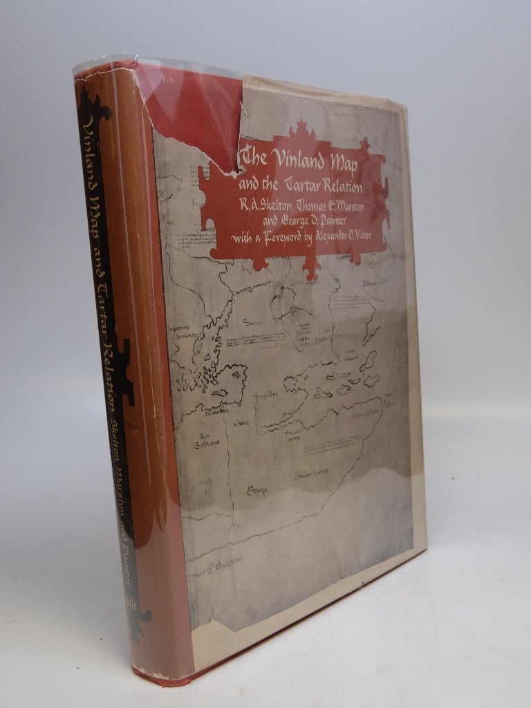
The Vinland Map And The Tartar Relation
New Haven: Yale University Press, 1966.
Illustrated with 19 facsimile plates and maps, some folding, and 10 in-text figures. 291 pages. 4to, red boards, d.w. (chipped with some loss along spine and back panel). New Haven: Yale University Press, 1966. Fourth printing. A very good copy in good dust wrapper.
First publication of these two documents from their 15th century manuscripts. The Vinland map represents the first known cartographic depiction of any part of America. The Tartar Relation is the account of Friar John Carpini's 13th century mission to the Mongols. At the 2018 Vinland Map Symposium, the map was proved to be a 20th c. fake.
Binding: Hardcover
Condition: Very Good / Good
Edition: Reprint
Language: English
Price: $27.50
Item #51825