
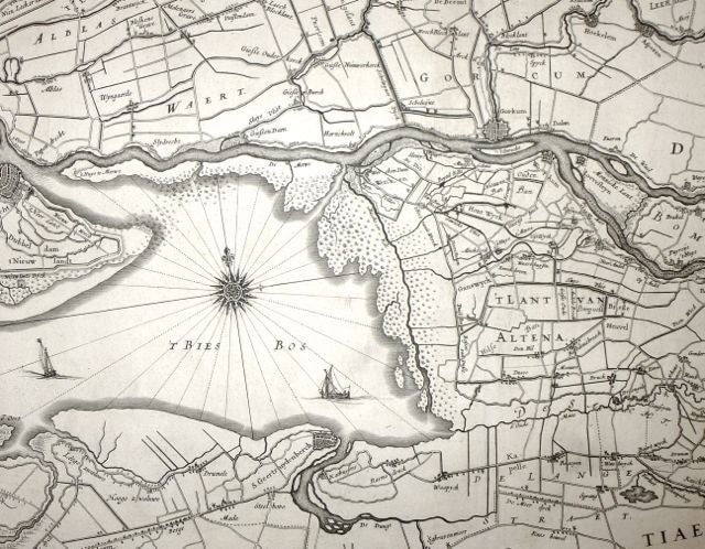
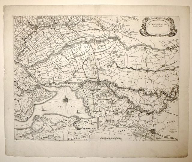
Zvydhollandia stricte sumta
Map. Engraving. Image measures 15 x 20". Sheet measures 18.25 x 22".
This region in South Holland and Brabant is surrounded by rivers and marshes. Blaeu renders the map beautifully and depicts dykes, canals, polders and peat moss farms most prominently rather than emphasizing towns and roads. This region is now an extensive tidal freshwater wetlands preserve and a national park. The map is in excellent condition with full margins, no text on verso, possible separate issue map for use in a composite atlas. Willem Blaeu (1571-1638) was a prolific Dutch mapmaker who started one of the most famous map publishing firms of the 17th century. It was at this time that the Dutch controlled the map trade, and their ornate and beautiful maps had immense popularity. Blaeu was instrumental in driving this dominance in his lifetime, and this legacy was continued by his sons. A treat to see in black and white.
Language: Latin
Price: $550.00
Item #252274