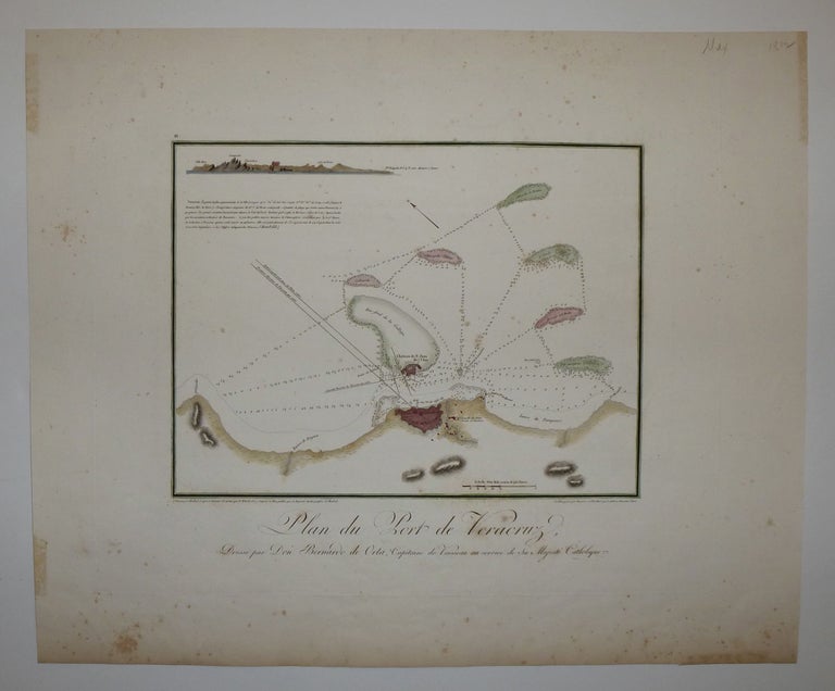
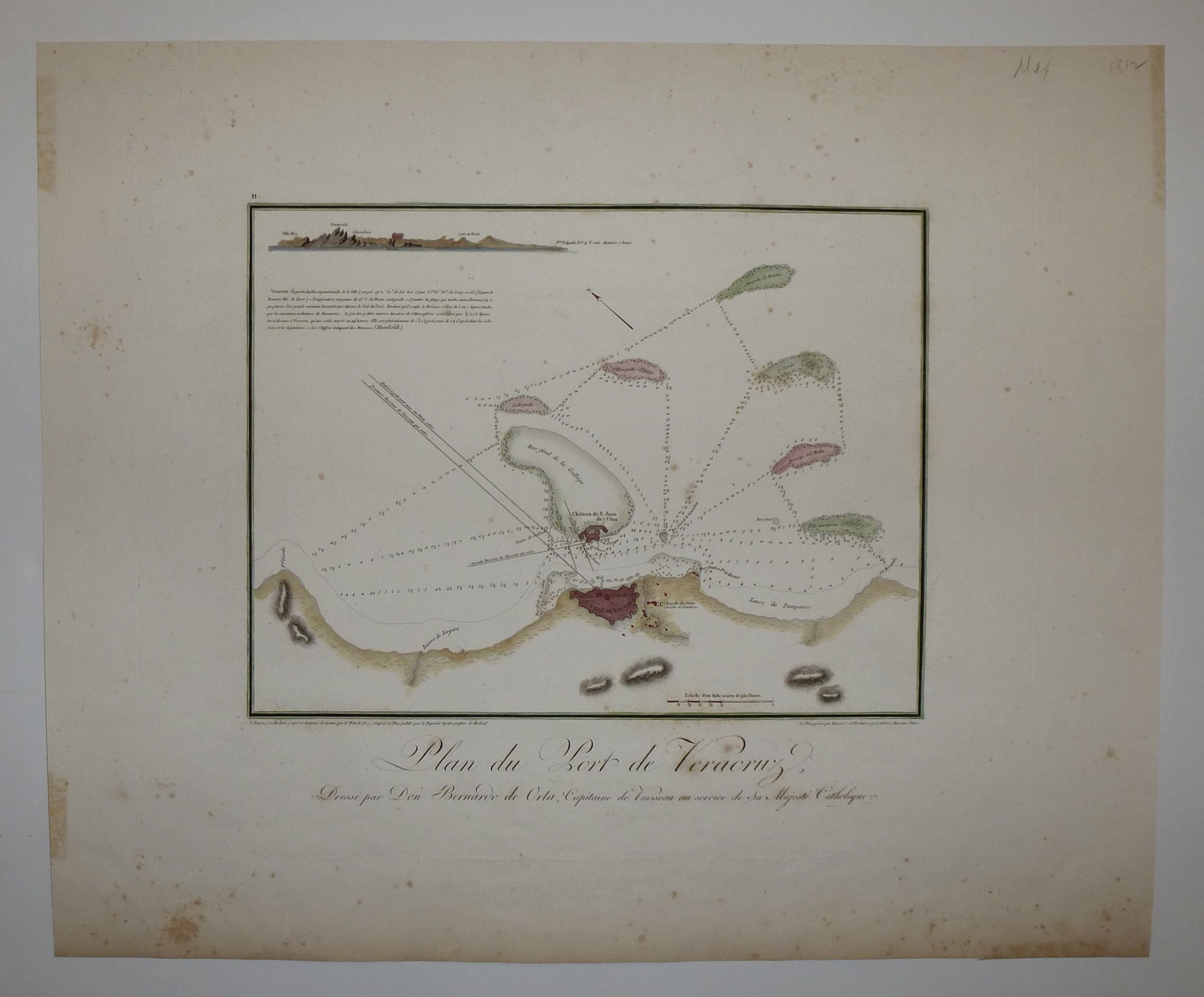
Plan du Port de Veracruz
1807.
Engraving with original hand coloring. Image measures 10 x 11". Sheet measures 15.5 x 18.75".
This map is an early nautical rendering of the harbor of Veracruz, Mexico, oriented with north to the upper left. It focuses on shoreline geography and depths, particularly around the various islands and sand bars off the coast. In the upper left corner of the map is a profile view of the region's mountains. Below is a French description of the harbor attributed to Humboldt. Below the map is the title and a note addressing the map to Bernardo de Orta, a captain in the Spanish Navy. The map is in very good condition with deluxe margins. Some foxing and discoloration, particularly in the lower margin. Small tear to lower margin not affecting the image. Baron Alexander von Humboldt (1769-1859) was a Prussian geographer and explorer who traveled extensively in Latin America. His maps of New Spain corroborated existing maps, documents, and reports with astronomical observations and today, exemplify state-of-the-art cartographic knowledge in the early 19th century. This map is a fine example of his work.
Language: English
Price: $575.00
Item #247220