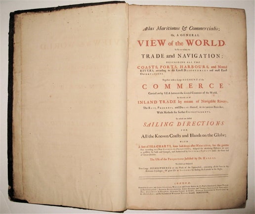
Atlas maritimus & commercialis; or, a general view of the world, so far as relates to trade and navigation / Sailing Directions for All the Known Coasts and Islands on the Glob, with a Sett of Sea-Charts
London: James Knapton, 1728.
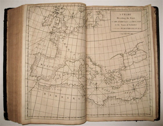
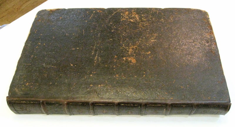
Two parts in one volume. Illustrated with 53 of 54 fine uncolored copper plate maps, (last celestial chart is missing with a full size facsimile version provided from the British Library edition), and 5 fold-out diagrams tipped into the second text. Title page printed in black and red, foreword, preface, list of subscribers, and list of charts. Dedication page has a repair to the margin. "Atlas maritimus & commercialis," 340 pp. plus index. "General Coasting Pilot," 195 pp. plus maps. Page numbers written in ink. Elephant folio (21.25" x 13"), scuffing and corner wear to original brown leather binding, gilt spine in 8 compartments. Some toning and light scattered foxing to text and maps. Repairs to World Chart, North America chart and Celestial map along bottom fold out, small abrasion in margin of China map. Bookplate pasted down with Coat of Arms of Verney.
This commercial sea atlas was published in 1728 as a guide to British global commerce. Today, it is a historically significant English overview of world trade during a rapid period of development of the British Empire's trading power. The atlas consists of two parts. The first is the "Atlas Maritimus & Commercialis" proper, which provides a geographical overview of the world as it relates to trade and navigation. It also gives an account of contemporary commerce, including the traded commodities of each country. The second part is "A General Coasting Pilot" by Nathaniel Cutler, which provides sailing directions. The volume was published anonymously, though the maps are often attributed to Sir Edmond Halley, the Astronomer Royal of Britain, who also wrote the prefatory note discussing the charts' use. The atlas's emphasis on commerce in addition to geography distinguishes it from "The English Pilot," the period's standard in maritime charts. It was also notable for covering the entire globe, including the south and west coasts of America, in one volume. This is an early issue of the Atlas, with A Chart of the Coast of Scotland on a globular projection. London: 1728.
Sir Edmond Halley (1656--1742) was an English astronomer, geophysicist, mathematician, meteorologist, and physicist known for computing the orbit of the eponymous Halley's Comet. He was the second Astronomer Royal in Britain after John Flamsteed. John Senex (1678-1740) was a kind of Renaissance man of the 18th-century map world, working at times as a scholar, surveyor, engraver, astrologer, book seller and publisher of maps, atlases and globes. In a short period, he developed from an apprentice into one of the most important cartographers of the period and became a Fellow of the Royal Society of London, as well as Official Geographer to Queen Anne of Great Britain. A wonderful rarity about 'Globular Projection" maps which was invented by Halley, Harris and Senex. Includes the unforgettable large four sheet map "A Chart of the Atlantick Ocean Shewing the Coast from Texel to C. Cantin".
Binding: Hardcover
Language: English
Price: $35,000.00
Item #236366