
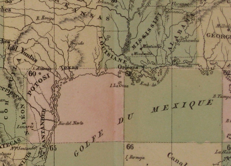
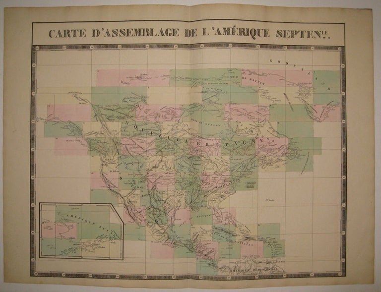
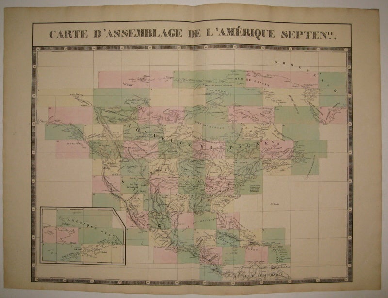
Carte d'Assemblage de l'Amerique Septenle.
Brussels: Vandermaelen, Phillipe Marie, 1827.
Map. Large format lithograph with original hand color wash. Image and title measures 19 3/8" x 24 1/8".
Beautiful double page map of North America. Shows states, towns, waterways and topographical and geographical features. Includes an inset of northeastern North America. From Vandermaelen's 6 volume "Atlas universel de geographie physique, politique, statistique et mineralogique, sur l'echelle de 1/16411836" in which each map can be combined as gores to form an immense globe. The atlas was the first to map the world on a uniform scale. This map is the part of the assembly key with color coded and numbered squares indicating where each gore belongs. In excellent condition.
Binding: Unbound
Condition: Very Good(+)
Language: English
Price: $525.00
Item #224090