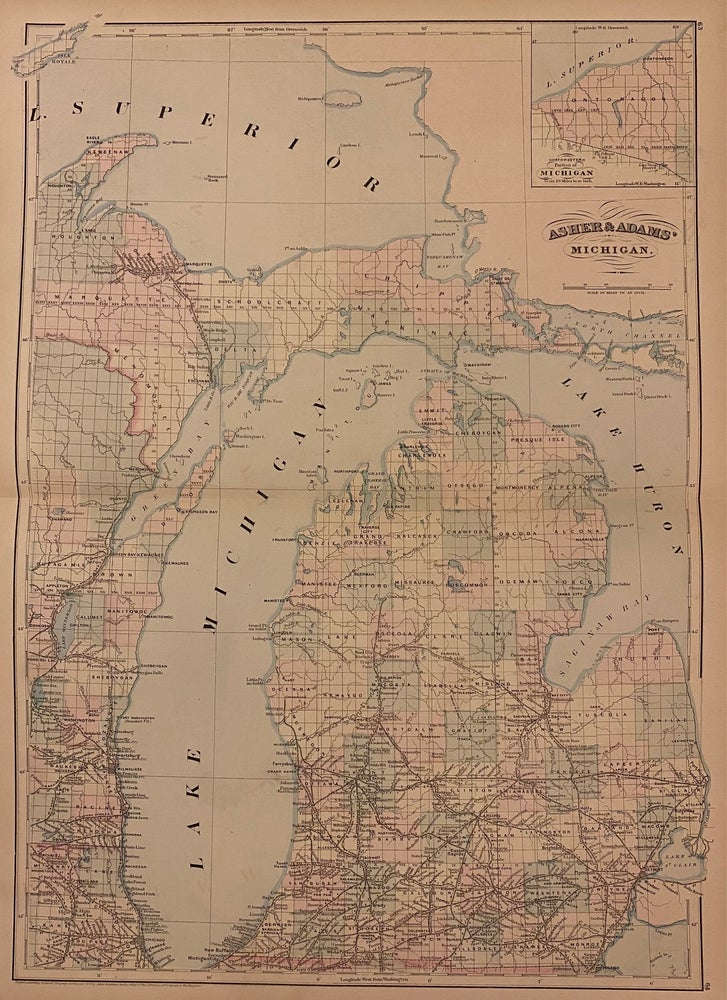
Asher & Adams' Michigan.
New York: Asher & Adams, 1872.
Map. Engraving with original hand coloring. Image measures 23" x 15.75".
Great double page map of Michigan divided into counties and townships. Shows cities, major routes, railroads and waterways. Centered on Lake Michigan, the map includes parts of Lake Superior and Lake Huron, extending from Isle Royale in the northwest to the St. Clair River in the southeast. Features an inset showing the northwestern portion of Michigan (Ontonagon). In excellent condition.
Asher & Adams were publishers based in Washington and New York in the late 19th century who produced some of the most detailed and colorful atlases of the period.
Binding: Unbound
Condition: Near Fine
Language: English
Price: $225.00
Item #223692