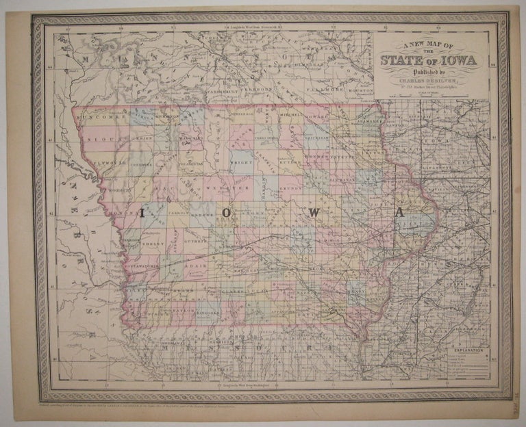
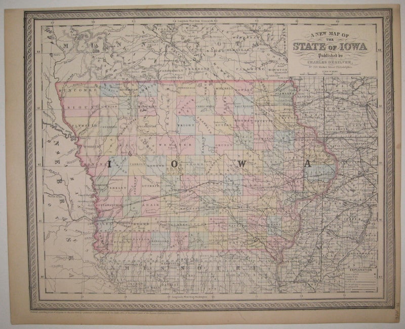
A New Map of the State of Iowa
Philadelphia: Desilver, Charles, 1856.
Map. Engraving with original hand coloring. Image measures 13" x 16".
Nice clear map of Iowa divided into counties. Showing towns, major routes, railroads and waterways. From the "New Universal Atlas". Plate was originally published by Samuel Augustus Mitchell, who sold the copyright to Thomas, Cowperthwait & Company in 1850, which was in turn bought by Charles Desilver in 1856. Top margin slightly cropped, light scattered staining.
Binding: Unbound
Condition: Very Good(+)
Language: English
Price: $75.00
Item #222793
See all items by Charles DESILVER