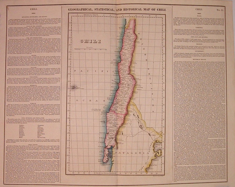
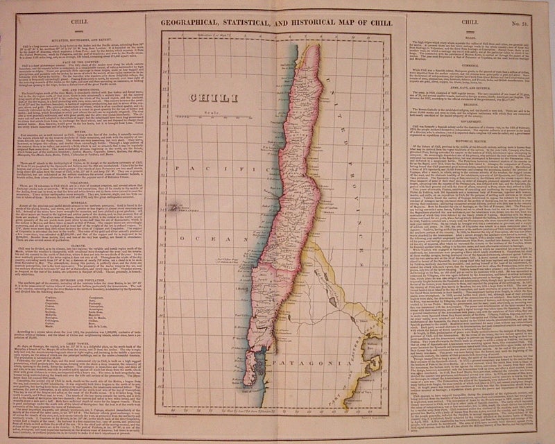
Geographical, Historical, and Statistical Map of Chili.
Philadelphia: Carey & Lea, 1823.
Map. Engraving with original hand coloring. Image measures 15" x 9", image plus text measure 16.75" x 20.5".
Beautiful map of Chili from 1823. Includes information pertaining to history, climate and culture. From "A Complete Historical, Chronological, and Geographical American Atlas..." of 1822. Run by Henry Carey (1793-1879) and Isaac Lea (1792-1886), the company worked with both books and maps, specializing particularly in political commentary. Their "Complete Historical, Chronological, and Geographical American Atlas," first published in 1822, not only contained some of the earliest maps of western states being admitted to the Union, it also provided ample information on each state and country providing an invaluable window into the nation's history.
Illustrator: Young & Delleker
Binding: Unbound
Condition: Very Good
Language: English
Price: $175.00
Item #204669