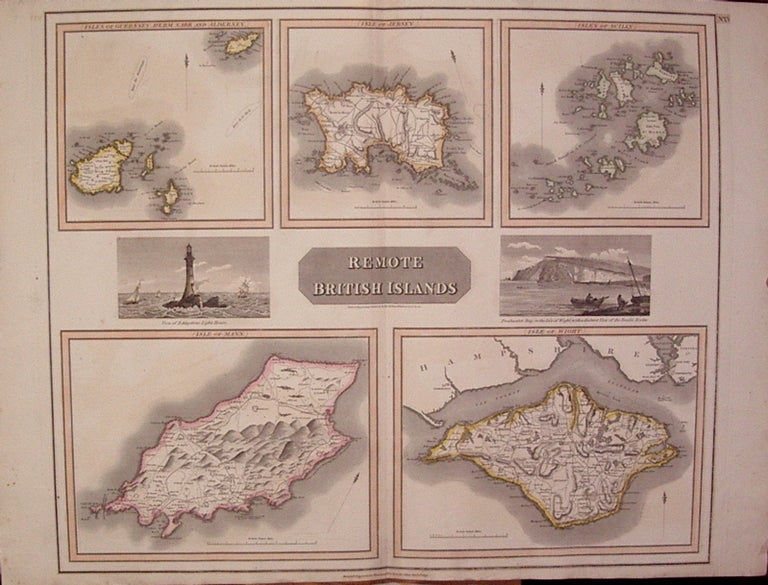
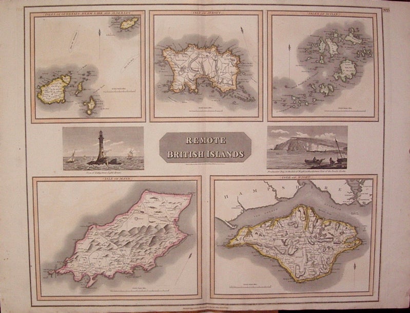
Remote British Islands
Edinburgh: John Thomson, 1817.
Map. Engraving with beautiful original hand outline. Collective images measure 19.75" x 23.5".
Page is divided into five separate maps: "(Isles of Guernsey, Herm. Sark. and Alderney.)", "(Isle of Jersey.)", "(Isles of Scilly.)", "(Isle of Mann.)", "(Isle of Wight.)" Includes two views, "View of the Eddystone Light House" and "Freshwater Bay, in the Isle of Wight, with a distant view of the Needle Rocks". From Thomson's "New General Atlas". Very minor scattered foxing.
Illustrator: N.R. Hewitt
Binding: Unbound
Condition: Very Good
Language: English
Price: $200.00
Item #204413
See all items by John THOMSON