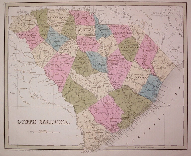
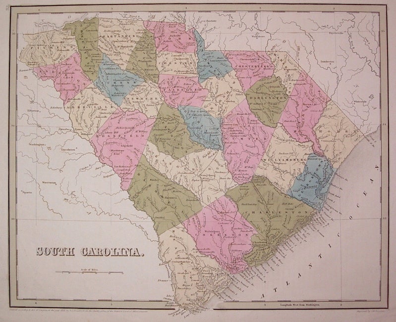
South Carolina.
Boston: Bradford, Thomas Gamaliel, 1838.
Map. Engraving with original hand outline coloring. Image measures 11.5" x 14.25".
Beautiful map of South Carolina divided into counties. Shows towns and waterways. In very good conditon with light foxing to outer margins and faint creasing. T.G. Bradford (1802-1887) was a Boston based publisher. He worked as assistant editor of the American Encyclopedia before entering the field of map making.
Illustrator: Boynton, G.W.
Binding: Unbound
Condition: Very Good
Language: English
Price: $300.00
Item #203686
See all items by Thomas Gamaliel BRADFORD