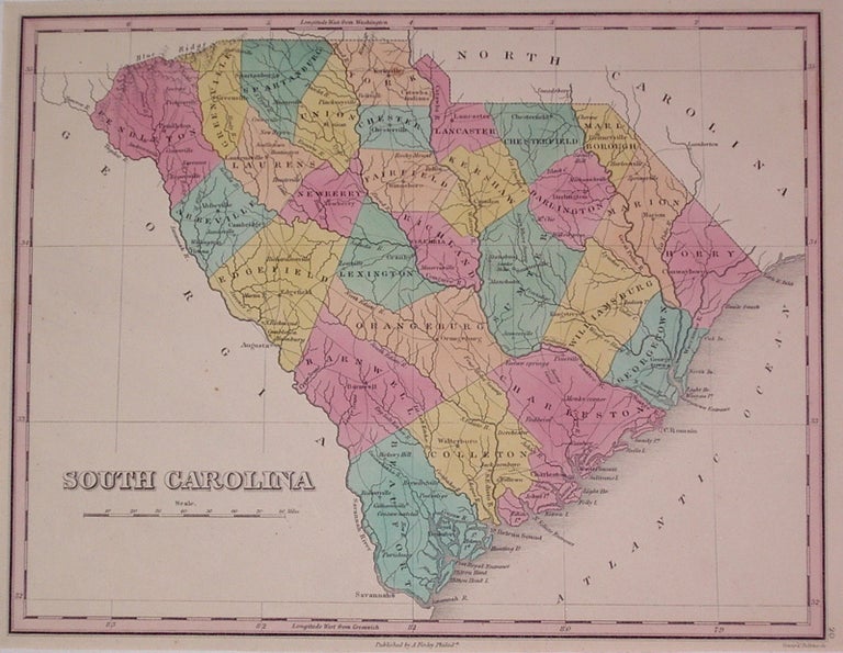
South Carolina
Philadelphia: Finley, Anthony, 1824.
Map. Engraving with original hand coloring. Image measures 8.5" x 11.25".
Classic map of South Carolina divided into counties. Shows clearly major towns, routes and waterways. Minor toning to edges. Anthony Finley (c. 1790-1840) was a prominent American cartographic publisher in the early 19th century. This map was published in "A New General Atlas", which was well received and praised for its clearness and accuracy.
Binding: Unbound
Condition: Very Good(+)
Language: English
Price: $300.00
Item #203679
See all items by Anthony FINLEY