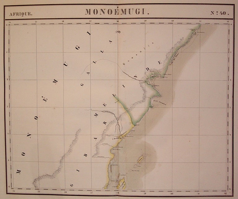
Monoemugi. Afrique. No. 40.
Brussels: Vandermaelen, Phillipe Marie, 1827.
Map. Large format lithograph of East Africa with original hand coloring. Image measures 18.5" x 22.25".
Includes Kenya, Mombasa, Tanzania and Lamme (Lamu). Double page with centerfold. From Vandermaelen's 6 volume "Atlas universel de geographie physique, politique, statistique et mineralogique, sur l'echelle de 1/16411836". Can be combined as gores to form an immense globe. The atlas was the first to map the world on a uniform scale.
Binding: Unbound
Condition: Very Good
Language: English
Price: $500.00
Item #202229
See all items by Phillippe Marie VANDERMAELEN